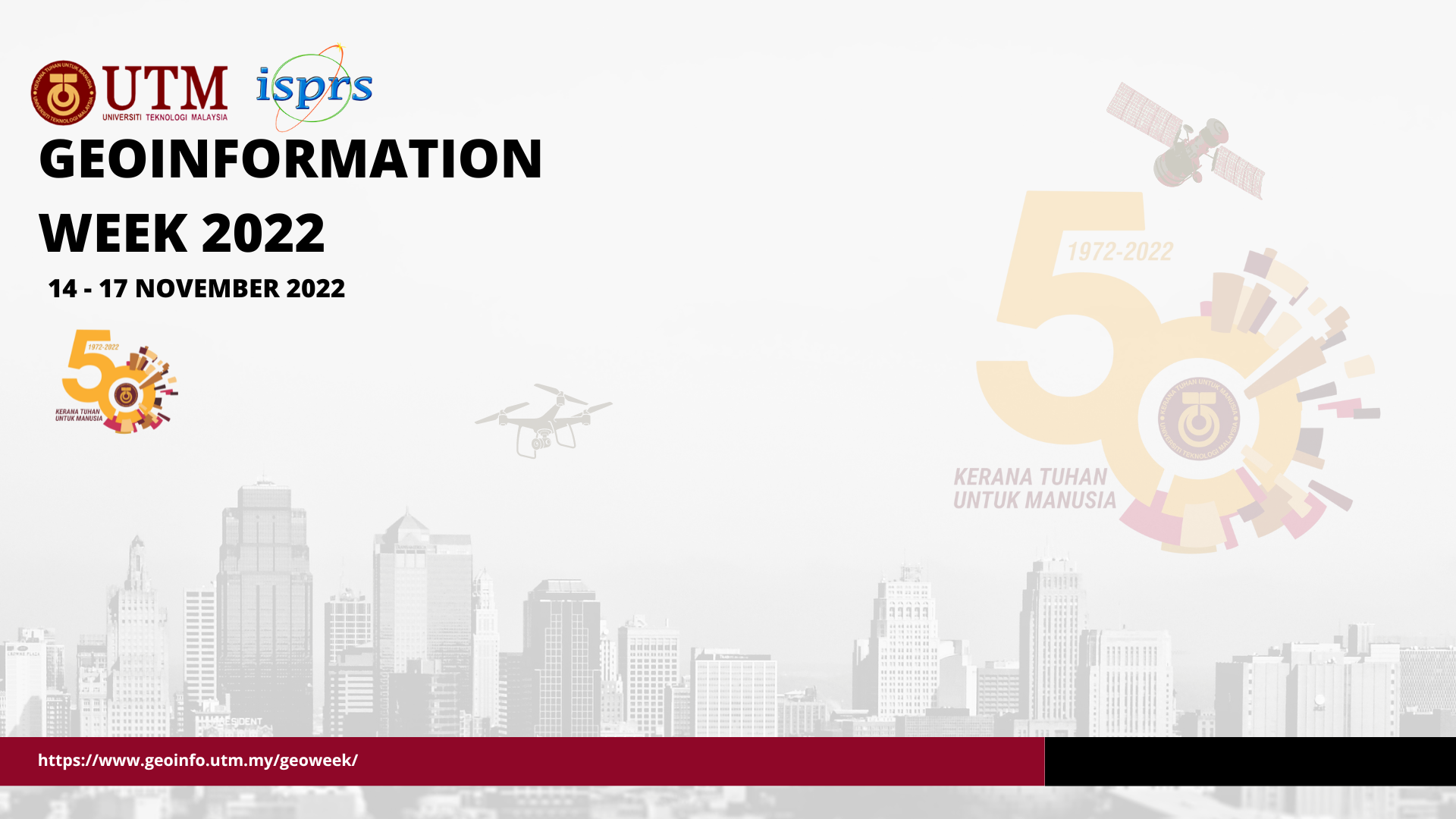
About Geoinformation Week
Dear Colleagues and Friends,
Geoinformation is being widely used by many entities ranging from research labs in academia to space-borne vehicles. Traditional and advanced systems and tools have been produced since then. This year, UTM Geoinformation Department organizes a brand-new scientific event called Geoinformation Week where recent research and development will be highlighted via scientific papers, workshops, tutorials, and technology exhibitions.
The Geoinformation Week conference will be held fully online!
Theme of the event; Broadening Geospatial Science and Technology . We have seen various government agencies and private entities have engaged with geospatial information systems, applications and services. However, more efforts and works have to be worked out and envisioned for greater benefits to many users. Today, users demand more and more relevant spatial data, systems, tools, and services.
Thus, in order to materialise all those demands and requirements both from data providers and users, we anticipate and encourage all geospatial information communities and related professionals to get together in this brand-new event. Many issues and solutions will be shared and discussed in this one-week event. We encourage all to participate and submit their extended abstracts.
Thank you and see you soon in the conference.
Chair,
Geoinformation Week 2022
Conference Topics
Presentations and papers of the following topics are encouraged but not limited to:
- Surveying and Geomatics
- GPS and GNSS, Remote Sensing, Image Processing and Photogrammetry
- LiDAR and Unmanned Aerial Vehicle (UAV)
- GIS (2D and 3D)
- Open Geo
- Building Information Modelling (BIM)
- 3D City Modelling
- 3D Modelling
- Land Administration Domain Model (LADM)
- Multi-Dimensional Modelling
- Geo-Hazards
- Landslides
- Disaster Management
- Flood Modelling
- Hydro-Informatics
- Oceanography and Hydrography
- Standards and Spatial Data Infrastructure (SDI)
- Professional Education and Accreditation
Keynotes
Here are some of our speakers
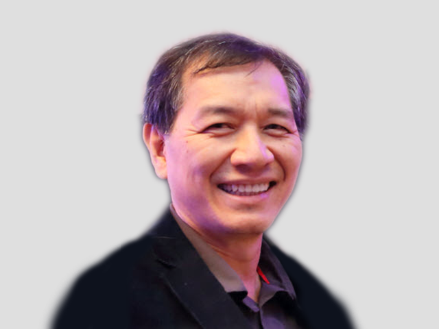
Dr Morakot Pilouk
Senior Principal Software Engineer
ESRI Redlands, California
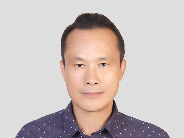
Prof. Dr Cheinway Hwang
National Chiao Tung University, Taiwan
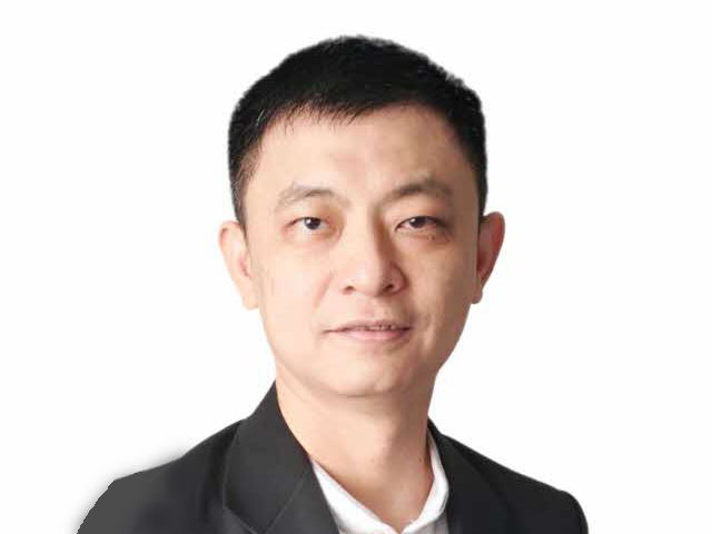
Soon Kean Huat
Senior Principal Surveyor
Survey & Geomatics Division of Singapore Land Authority (SLA), Singapore
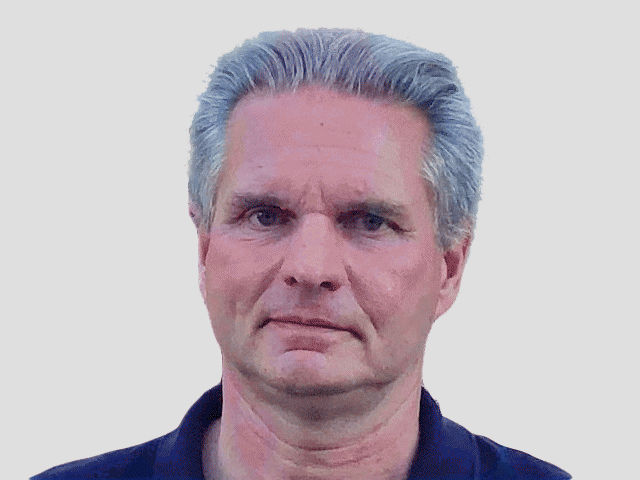
Dr Gerhard Gröger
Project Leader and Software Designer
CPA ReDev GmbH, Siegburg, Germany
Programme
Online Schedule for Geoinformation Week
Zoom link and the full schedule can be viewed here.
Document updated as of 14th November (version 2.3).
Join the event via Zoom
https://us02web.zoom.us/j/83677438209?pwd=OW5RZmVaaGh3a05KazRhNHN6K0prQT09
Important Dates
Here are our important dates to remember
| 31st August 2022 | Extended Abstract Submission |
| 31st August 2022 | Full Paper Submission |
| 05th September 2022 |
|
| 28th September 2022 | Camera-ready submission |
| 16th October 2022 | Payment Deadline for accepted papers by Authors |
| 14 - 17 November 2022 | Conference day |
Paper Submission
Submit your manuscript
Call for Extended Abstract and Full Paper
You are invited to submit full papers (review) describing original works, or short presentations (non-review) or posters (non-review). All full papers will be subject to peer review process. The accepted full papers will be published as ISPRS Archives volume (SCOPUS indexed). The non-review papers or presentations will be published in conference proceedings.
General Remarks
- You are kindly asked to prepare your Paper in Word Document (*.docx / *.doc) file locally on your own computer, using the required templates.
- Both Full paper and Extended Abstract submission must follow Orange Book format ( Full paper: 6 pages max. while Extended Abstract: 2 pages max. respectively). For further details how to format your Paper, please refer to the ISPRS author’s guideline .
- Papers should be clear, concise and written in English with correct spelling and good sentence structure.
- We recommend that the Paper contribution is carefully compiled and thoroughly checked, in particular with regard to the list of authors, before submission in order to avoid last minute changes.
- The submission of a Paper carries with it the obligation that it is actually presented at the Conference by the author or by one of the co-authors.
Special Note: A maximum of two (2) papers are allowed per registered speaker.
All manuscripts must be submitted via EasyChair online system via: https://easychair.org/conferences/?conf=geoinfoweek2022
Committee
Scientific Committee
International Scientific Program Committee
- Ariel Blanco (University of Philippines at Dalesman Manila, Philippines)
- Bulent Bayram (Yildiz Technical University, Turkiye)
- Chalermchon Satirapod (Thailand)
- Filip Biljecki (NUS, Singapore)
- Gerhard Groeger (Germany)
- Habib Dastageeri (HfT Stuttgart, Germany)
- Hande Demirel (Istanbul TU, Turkiye)
- Hassan Rhinane (Casablanca Hassan II University, Morocco)
- Hung Kyu Lee (Korea)
- Mazlan Hashim (UTM, Malaysia)
- Mehmet Alkan (Yildiz TU, Turkiye)
- Morakot Pilouk (ESRI Redlands, USA)
- Pawel Boguslawsaki (Wroclaw University of Environmental and Life Sciences, Poland)
- Peter van Oosterom (TU Delft, The Netherlands)
- Rahmi Celik (Istanbul Technical University, Turkiye)
- Shafry Rahim (Computing School, UTM)
- Sisi Zlatanova (UNSW, Australia)
- Trias Aditya (UGM, Indonesia)
- Umit Isikdag (Mimar Sinan Fine Arts University, Turkiye)
- Volker Coors (HfT Stuttgart, Germany)
Local Scientific Committee
- Alias Abdul Rahman (Malaysia)
- Ali Jamali (Simon Fraser University, Vancouver, Canada)
- Ami Hassan bin Md Din (Malaysia)
- Anuar Ahmad (Malaysia)
- Gurcan Buyuksalih (UTM)
- Ivin Amri Musliman (Malaysia)
- Kasturi Devi a/p Kanniah (Malaysia)
- Mohd Nadzri Md Reba (Malaysia)
- Mohd Razali Mahmud (Malaysia)
- Muhammad Imzan Hassan (Malaysia)
- Muhammad Zulkarnain Abd Rahman (Malaysia)
- Nurul Hawani Idris (Malaysia)
- Purbo Poerbandono (ITB, Indonesia)
- Shafry Rahim (Computing School, UTM)
- Serdar Bayburt (NetCad, Turkey)
- Soon Kean Huat (SLA Singapore)
- Tajul Ariffin Musa (Malaysia)
Tracks Committee
Geomatics & Surveying
- Mohd Razali Mahmud (Malaysia)
Remote Sensing & Data Processing
- Kasturi Devi a/p Kanniah (Malaysia)
Photogrammetry & UAS
- Anuar Ahmad (Malaysia)
GIS
- Alias Abdul Rahman (Malaysia)
Organizer
Universiti Teknologi Malaysia (UTM)

International Society for Photogrammetry and Remote Sensing (ISPRS)
Registration
Conference registration fee details
Normal (Non-presenter)
RM500
Presenter (Non-student)
RM500
Presenter (Student)
RM250
* All conference participants must pay the registration fee. For each paper/poster, at least one author must attend and pay the registration fee.
** For International participant, please select only
ONE type of Currency, either in Euro or USD.
Mode of Payment
Payment can be made via Bank Transfer (for local participants) and via Flywire (for International participants).
Payment via Bank Transfer (local participants)
- Payable to:
- Uni-Technologies Sdn. Bhd.
- Account No.:
- 8006056882
- SWIFT Code:
- CIBBMYKL
- Bank Address:
- CIMB Bank Berhad
Universiti Teknologi Malaysia,
Taman Universiti, Skudai Branch,
81300 Skudai,
Johor, Malaysia.
Payment via Flywire (International participants)
- Payable to:
- https://utsb-conf.flywire.com
- Description:
- Vot 2093
- Amount:
- Please enter the amount (250 or 500) in RM currency